Concept of a Visualist: Herbert Bayer’s World Geo-Graphic Atlas
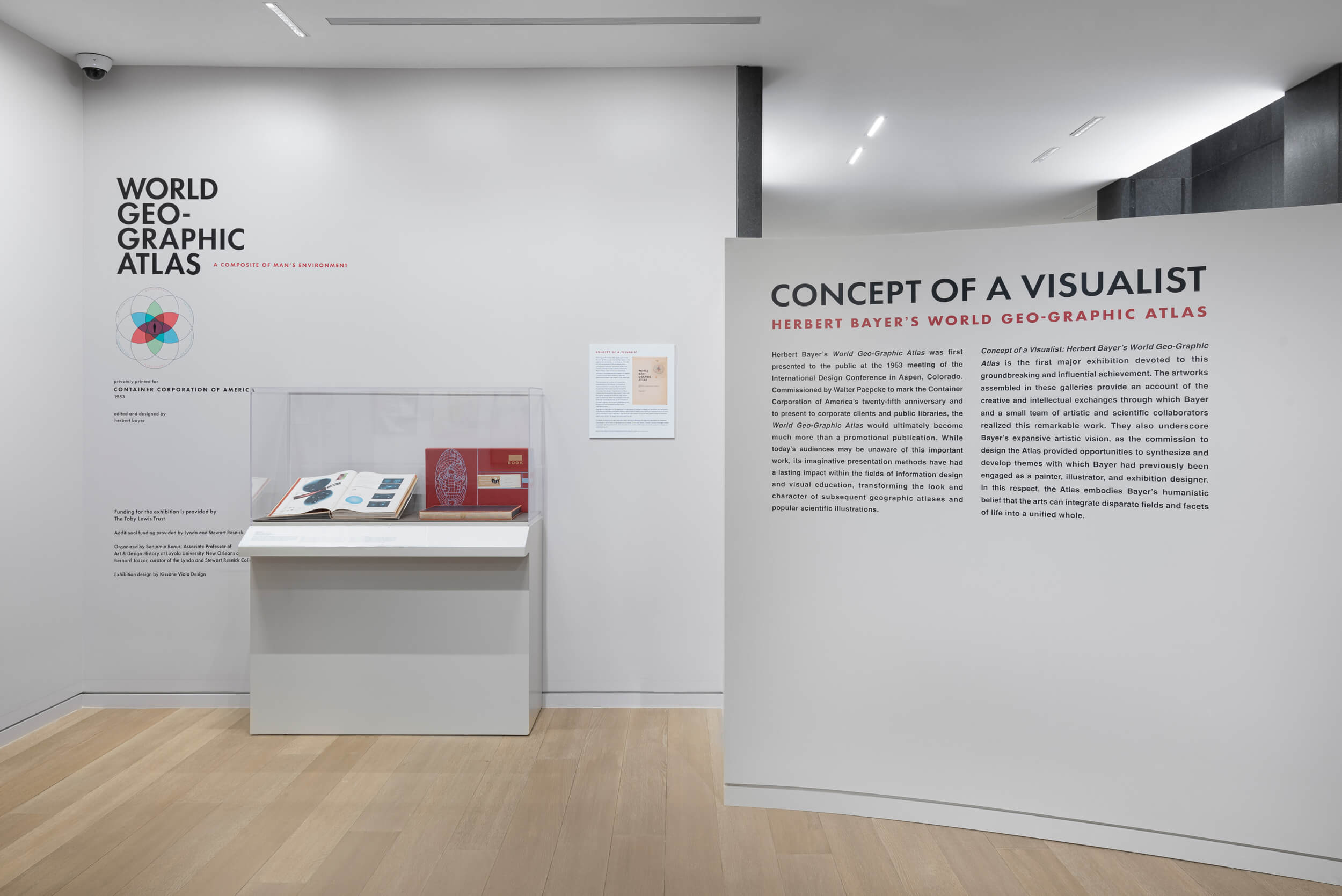
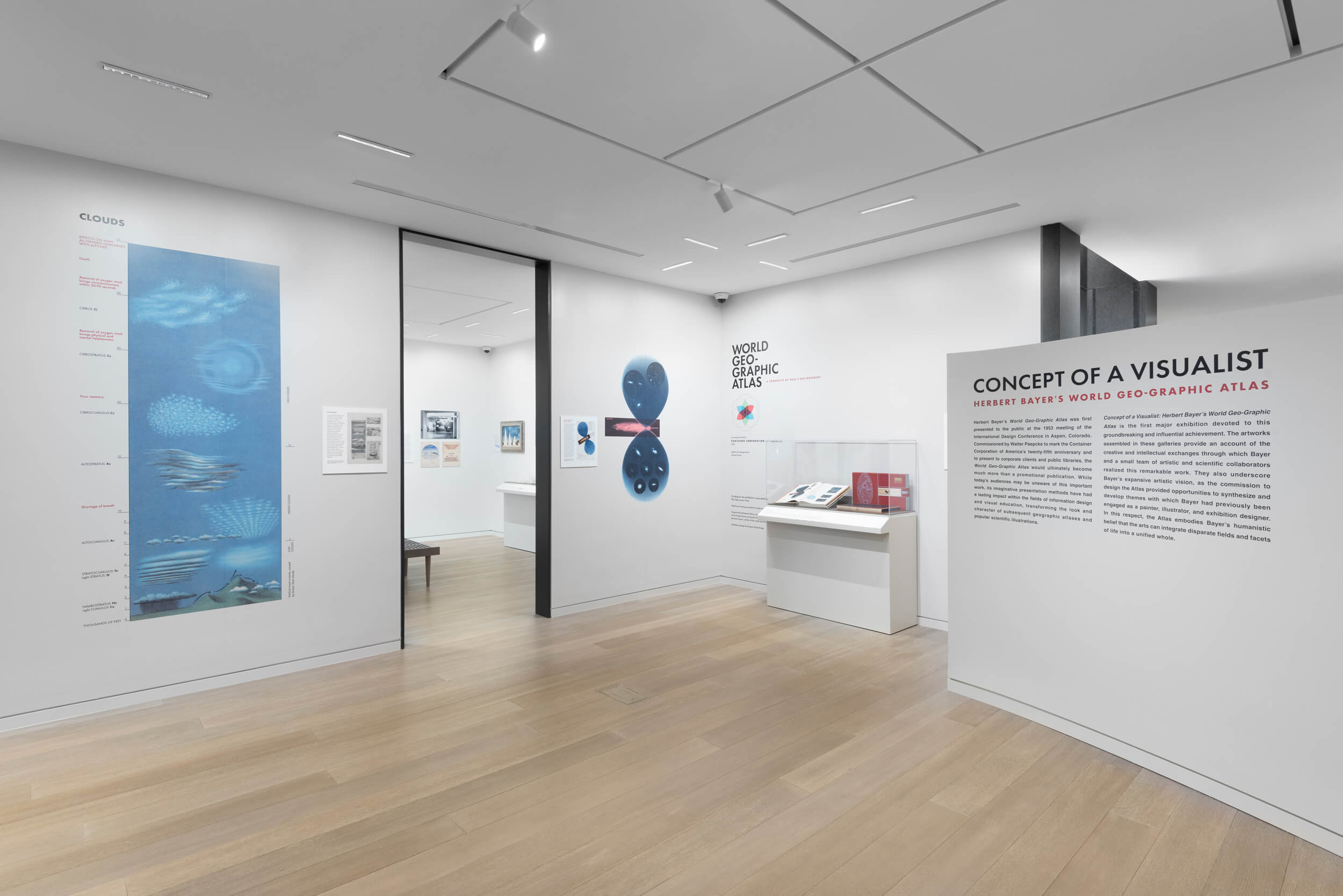
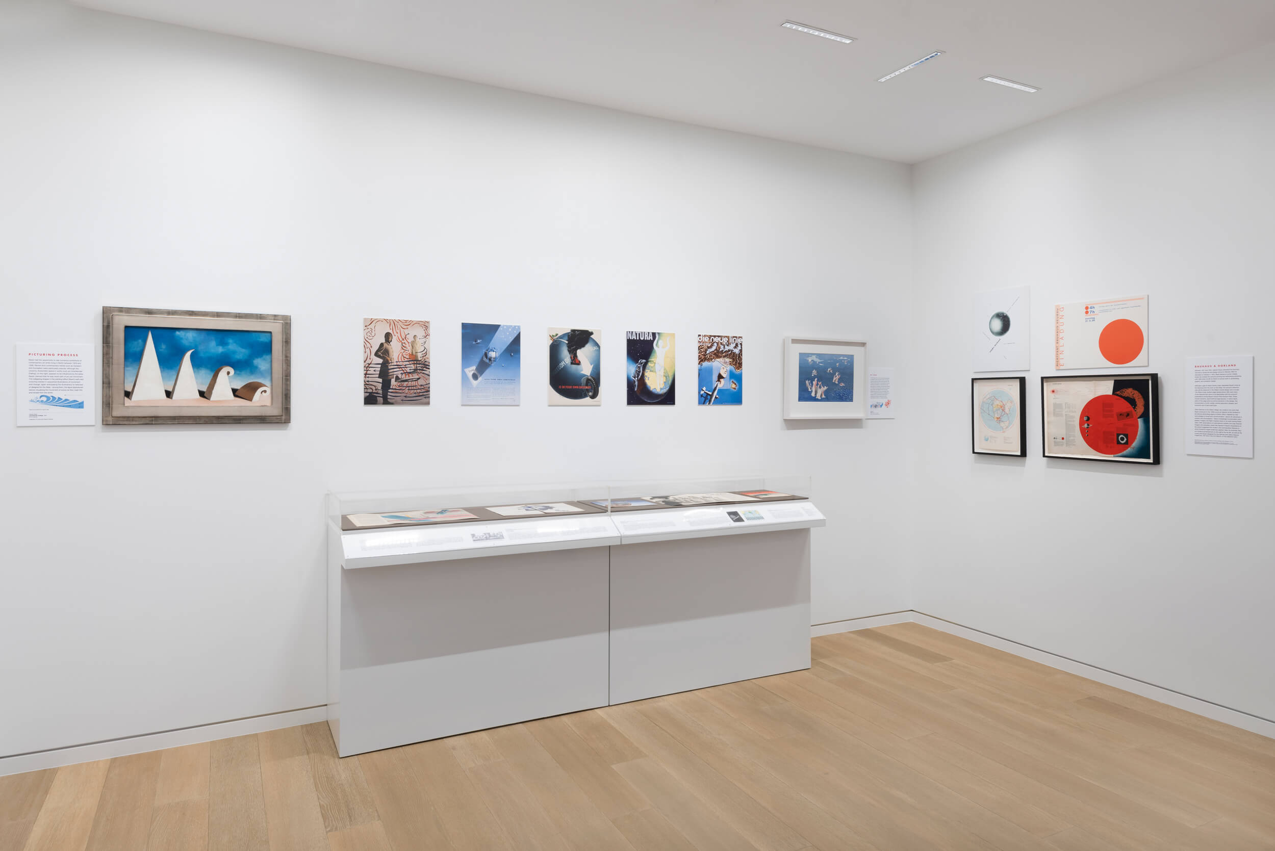
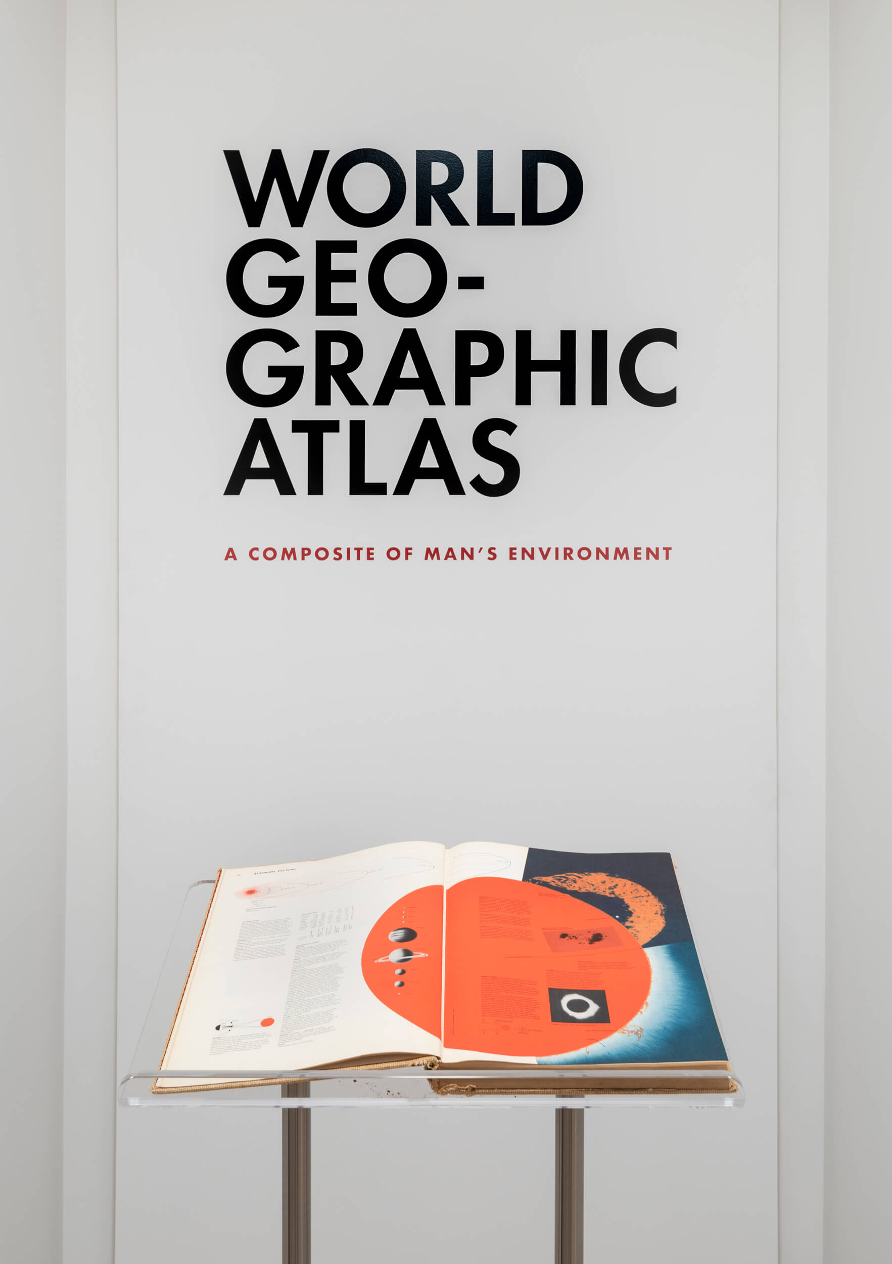
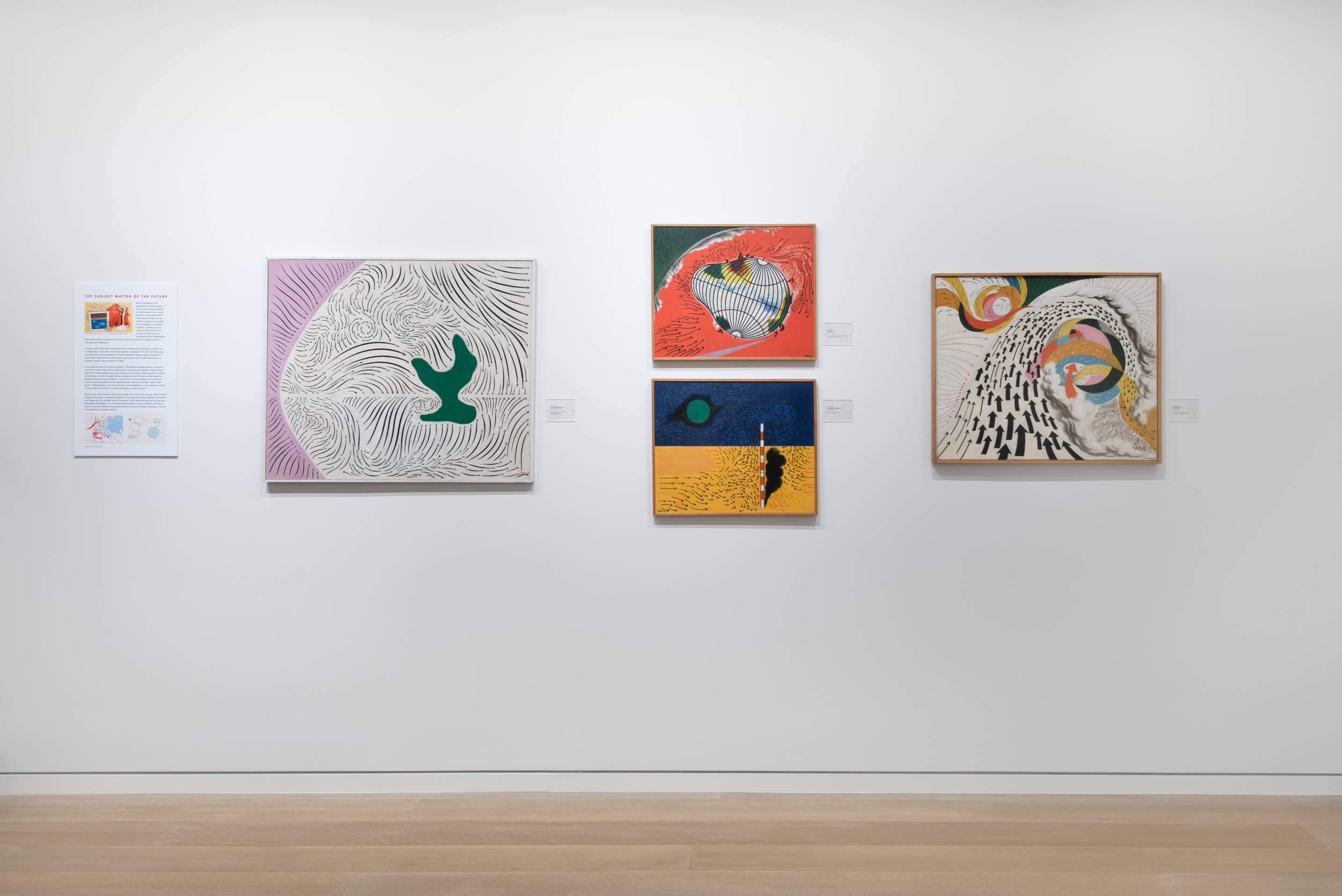
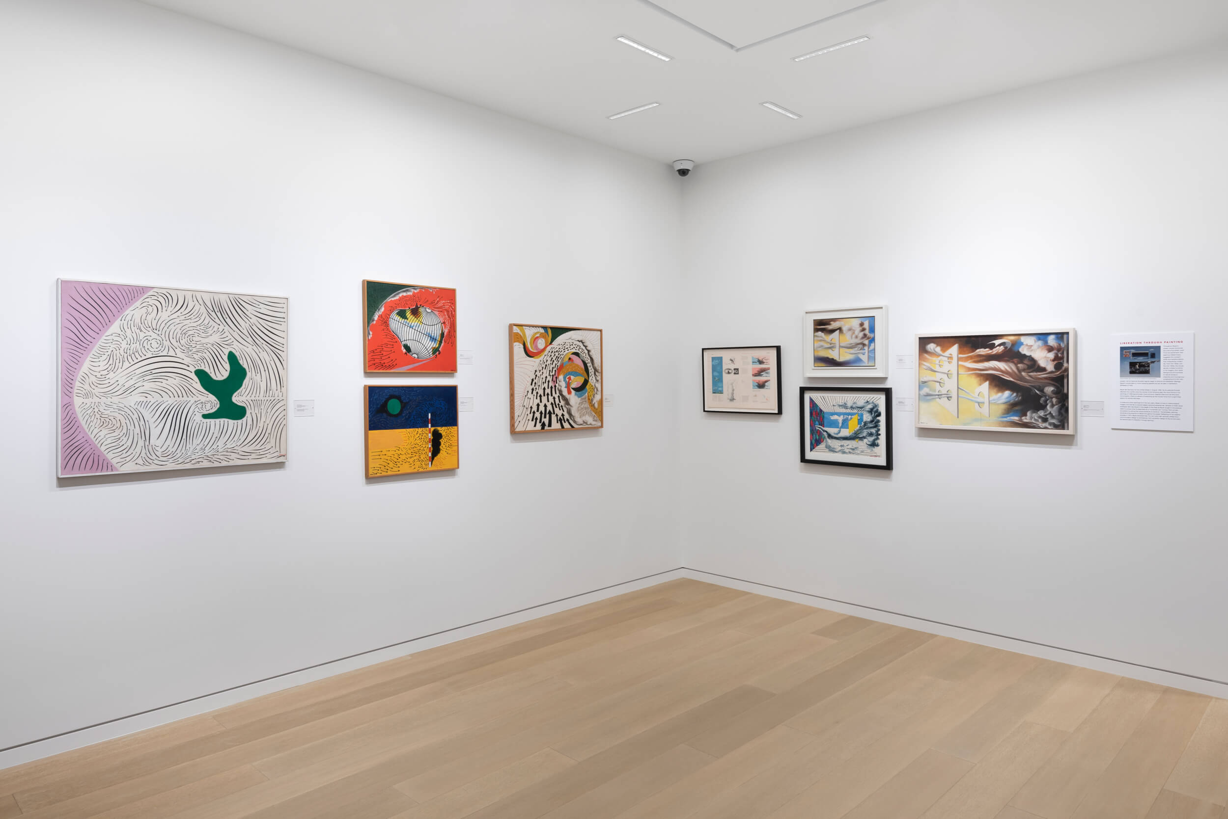
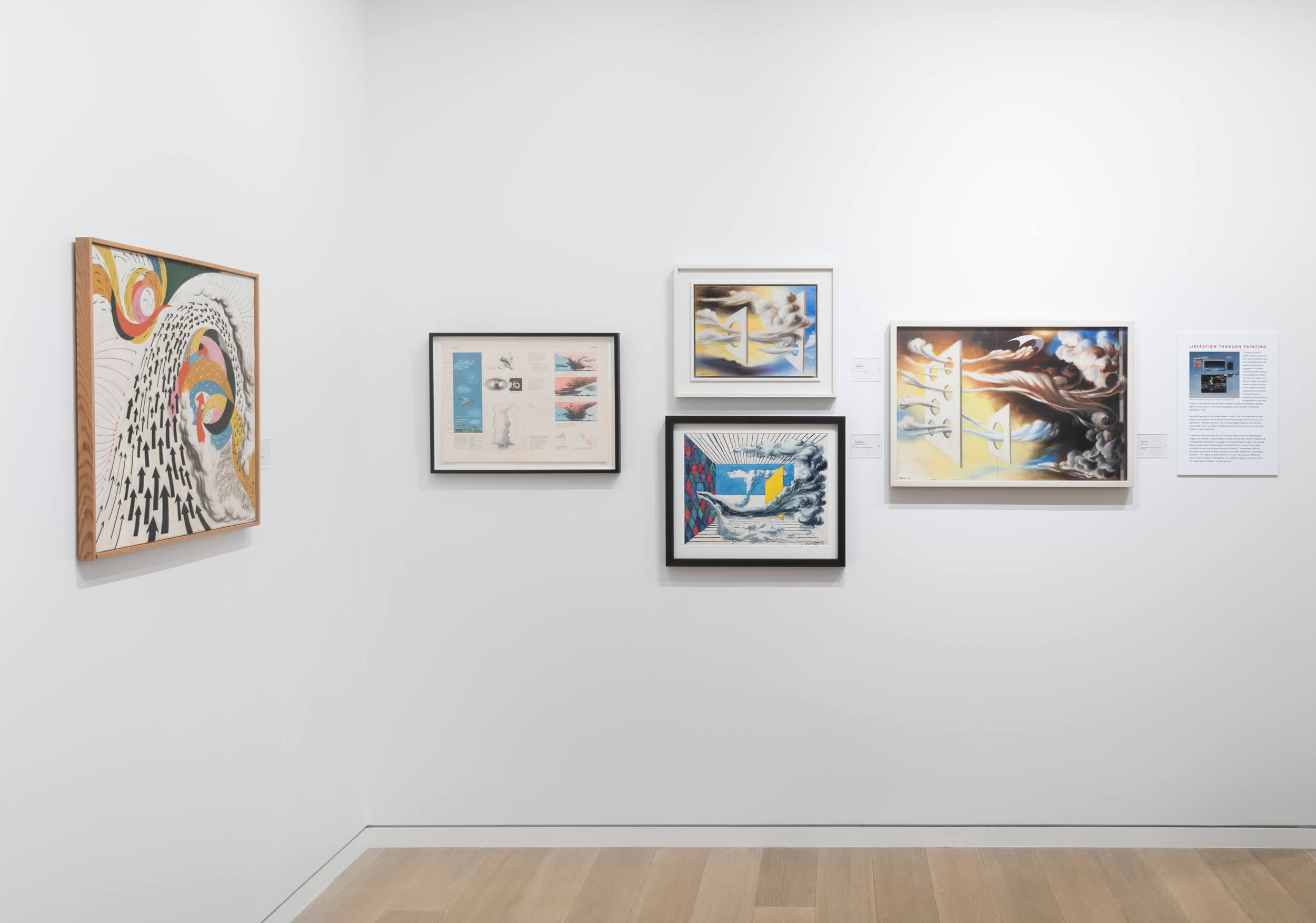
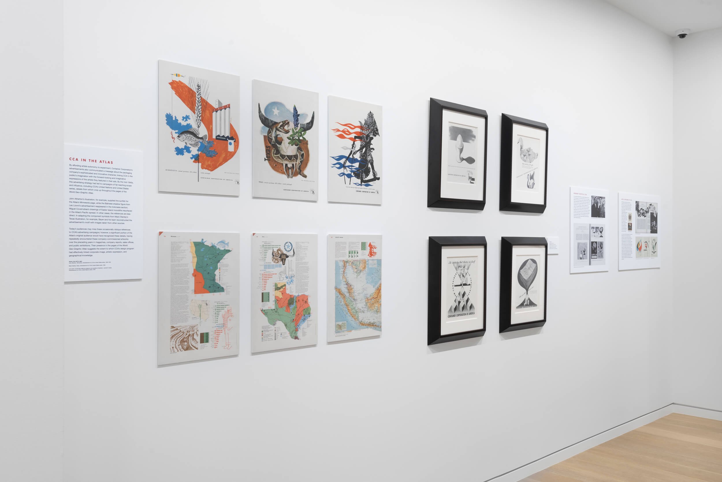
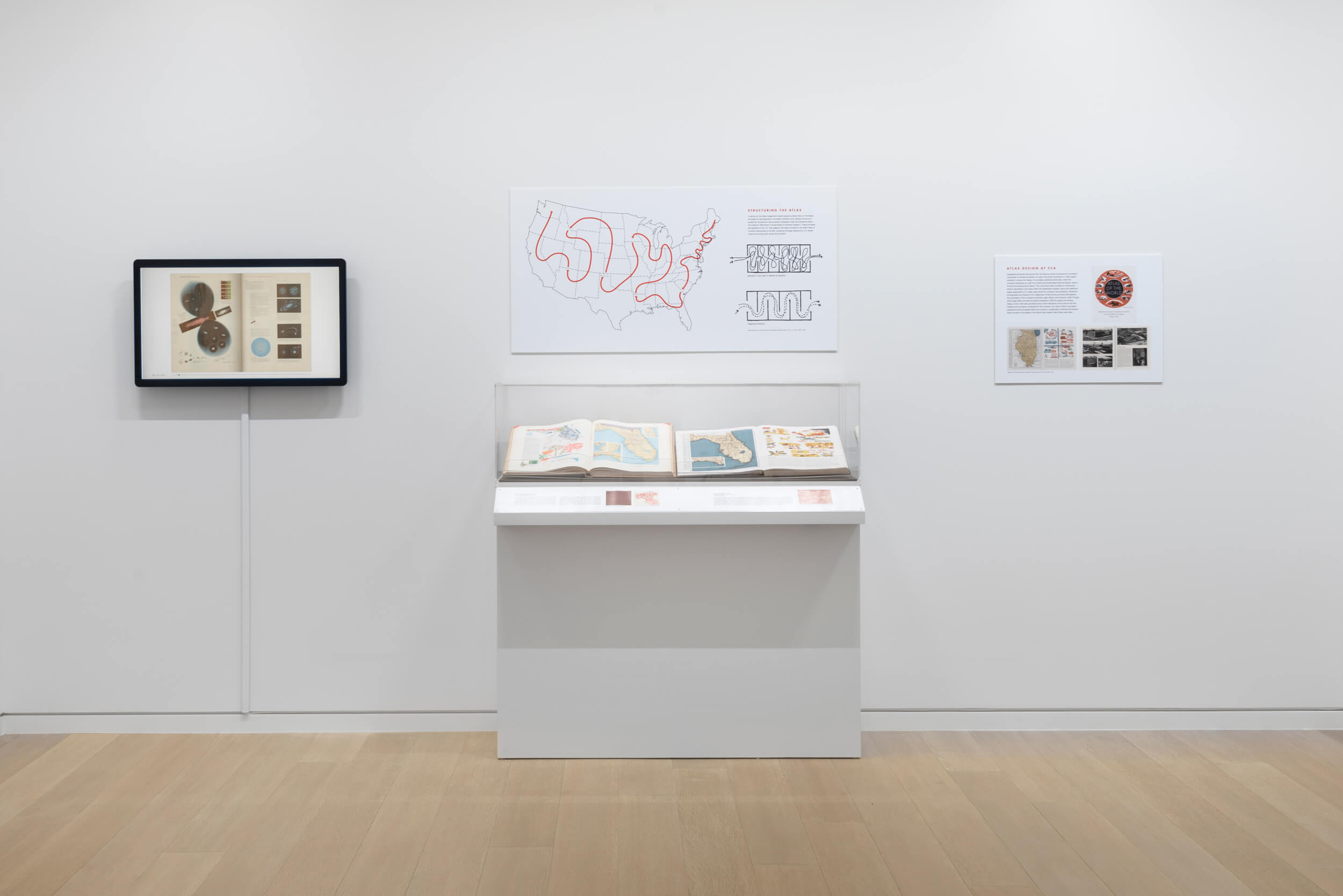
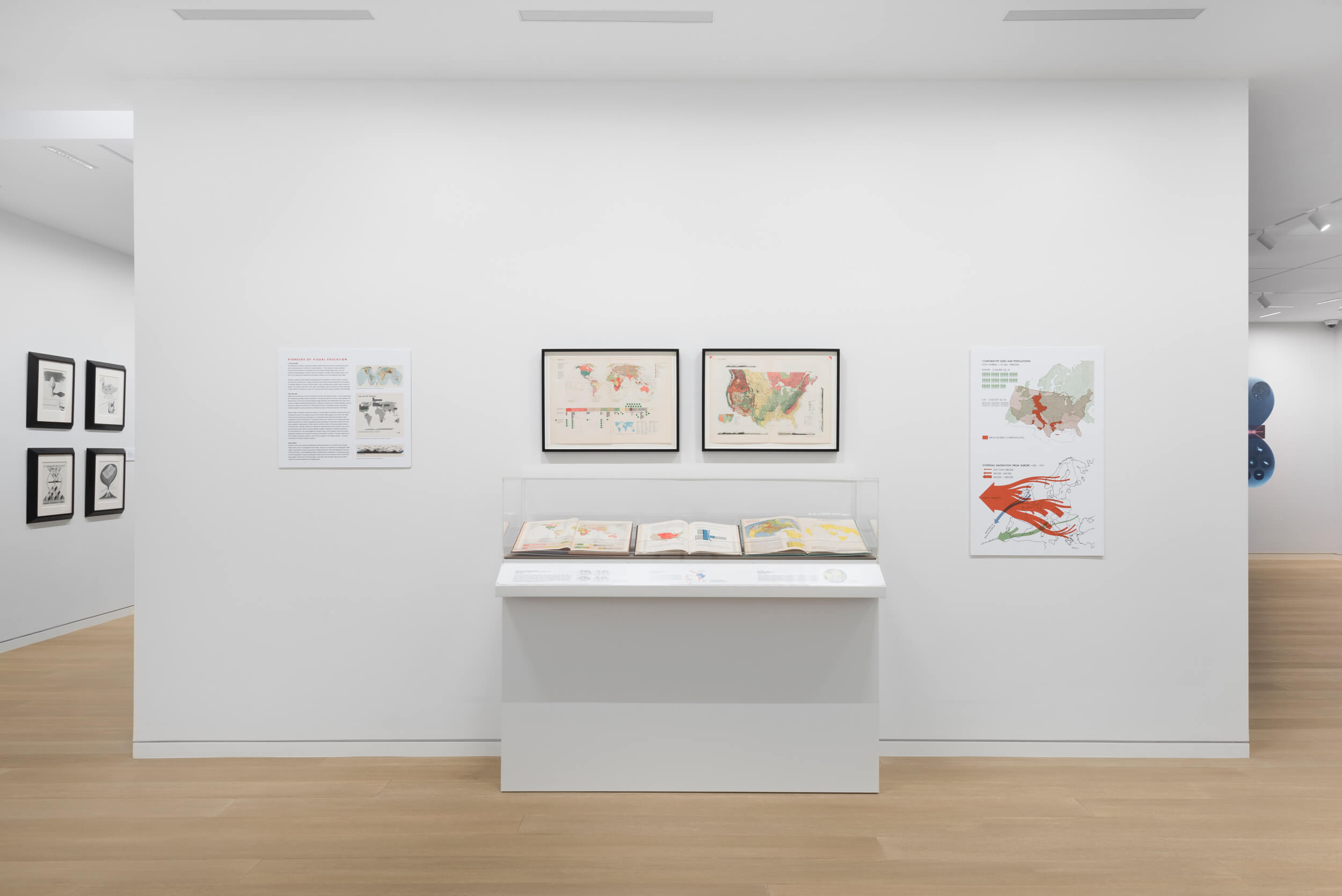
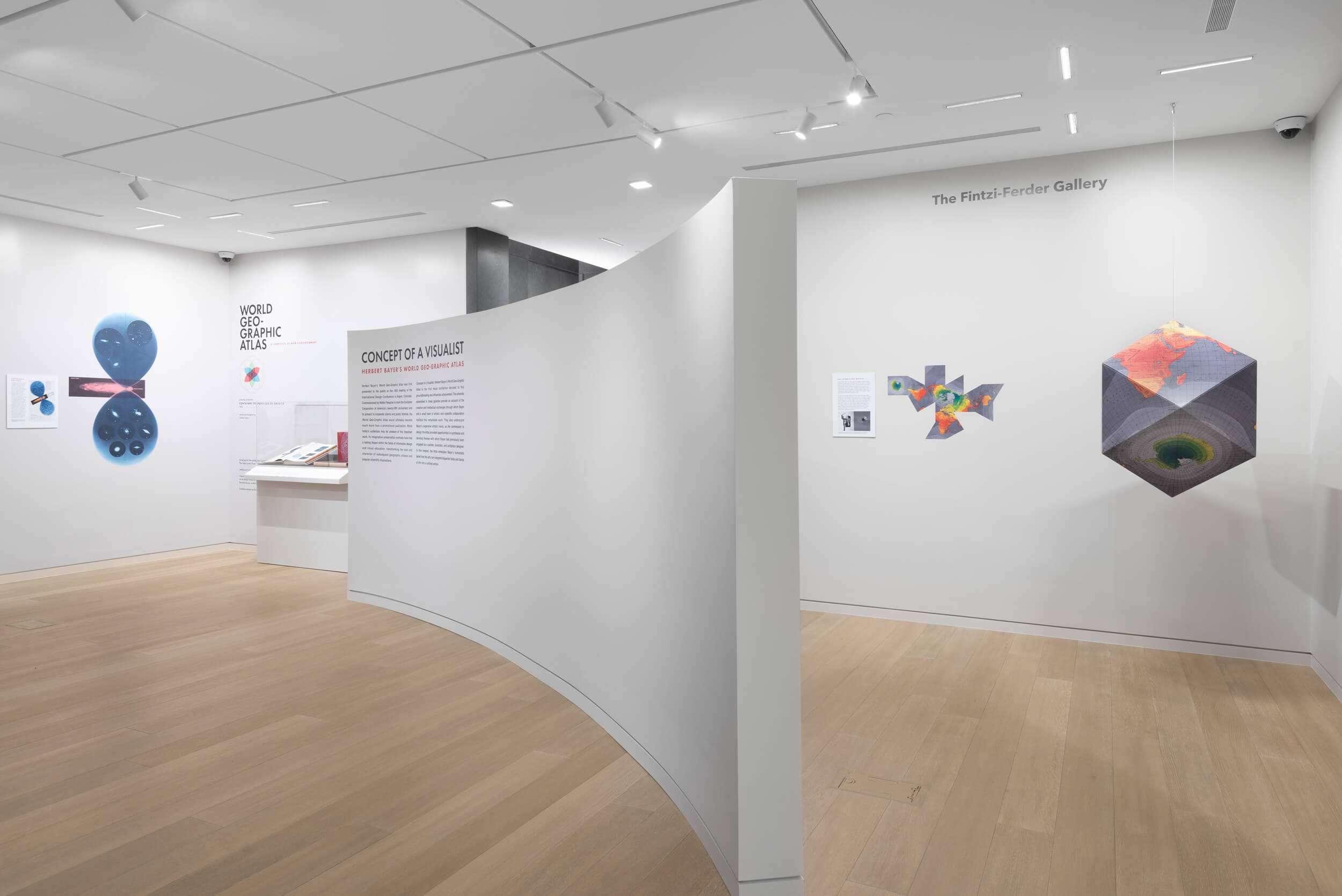
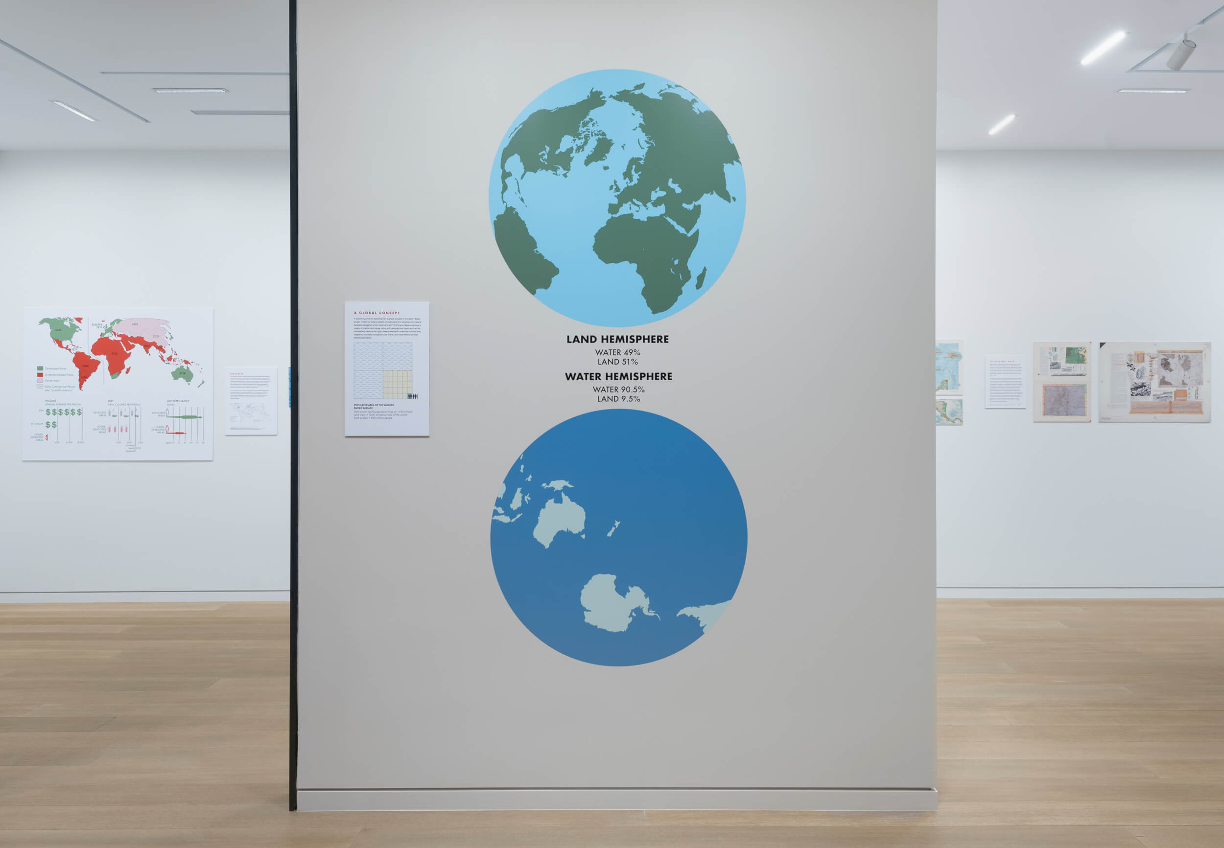
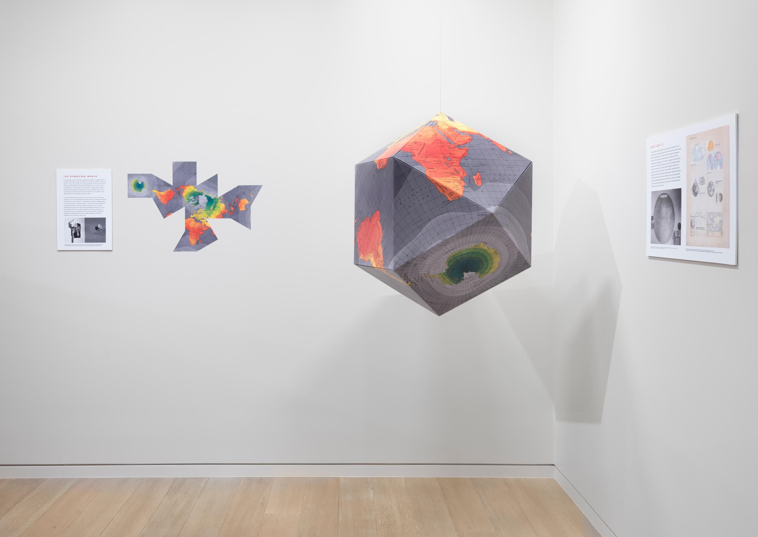
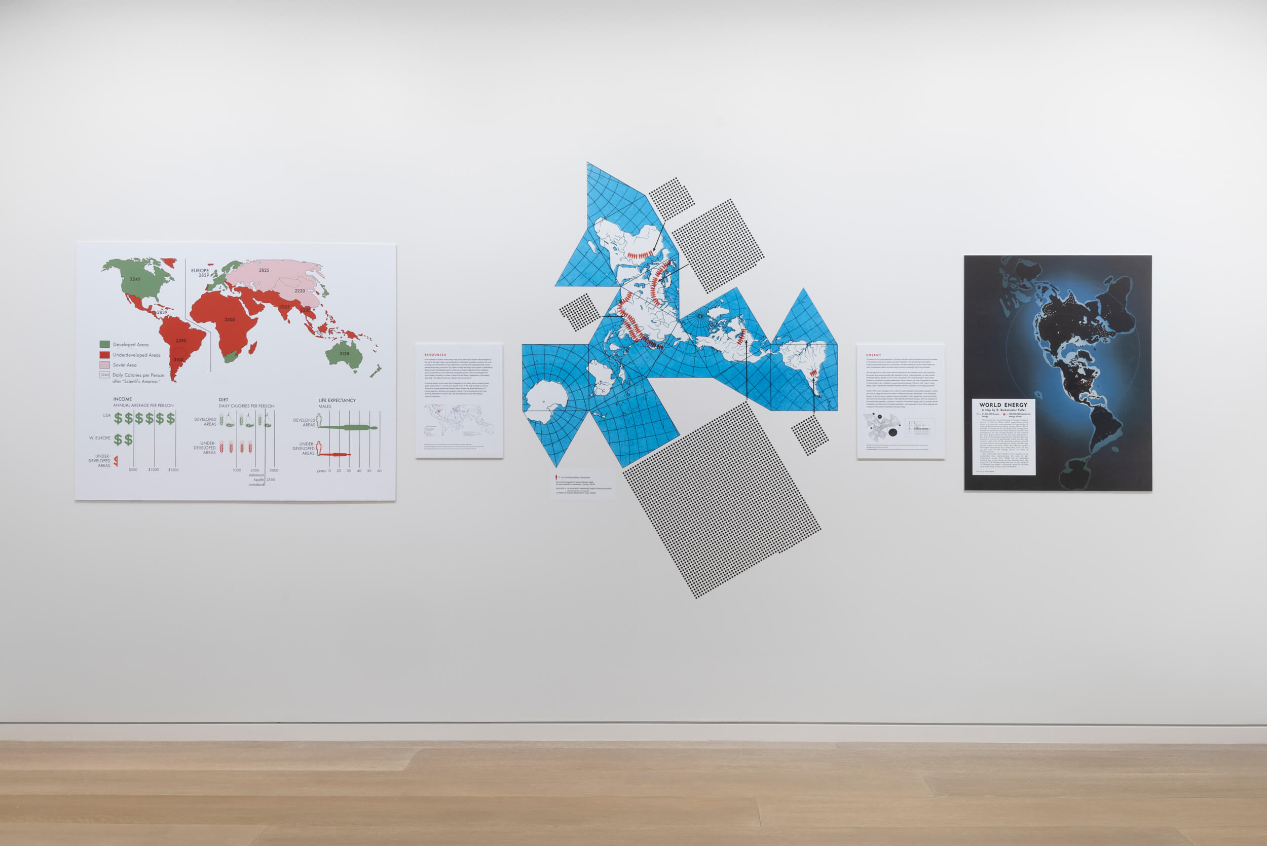
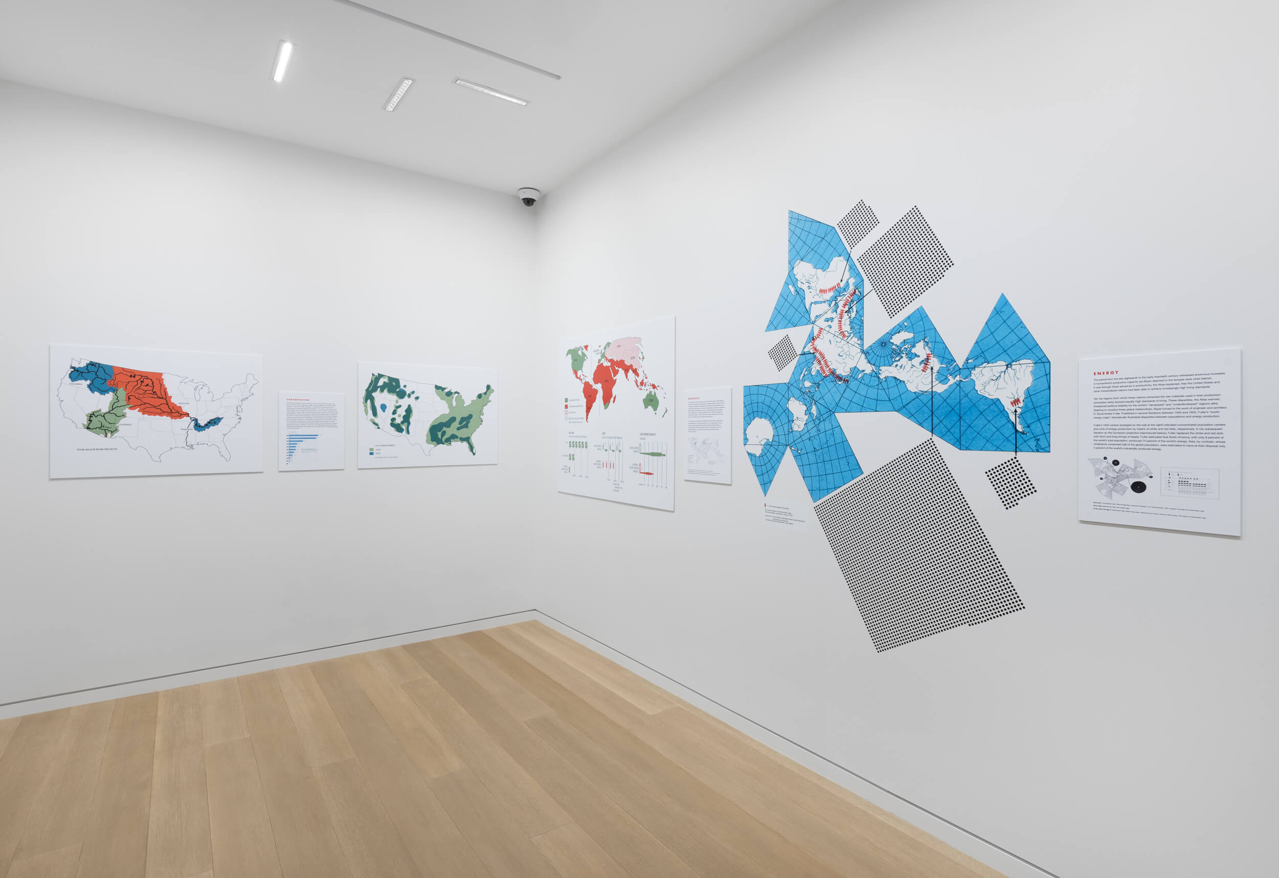
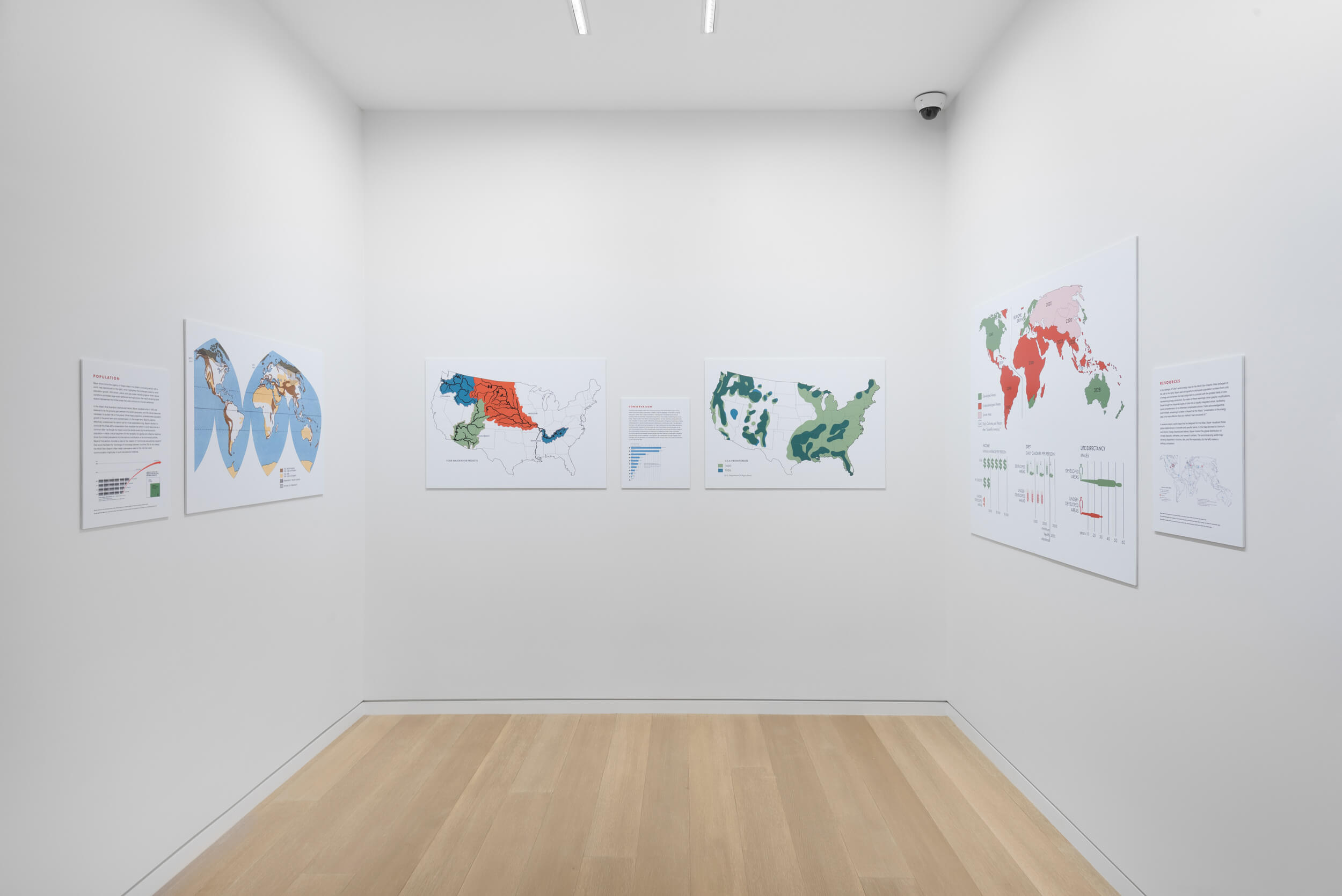
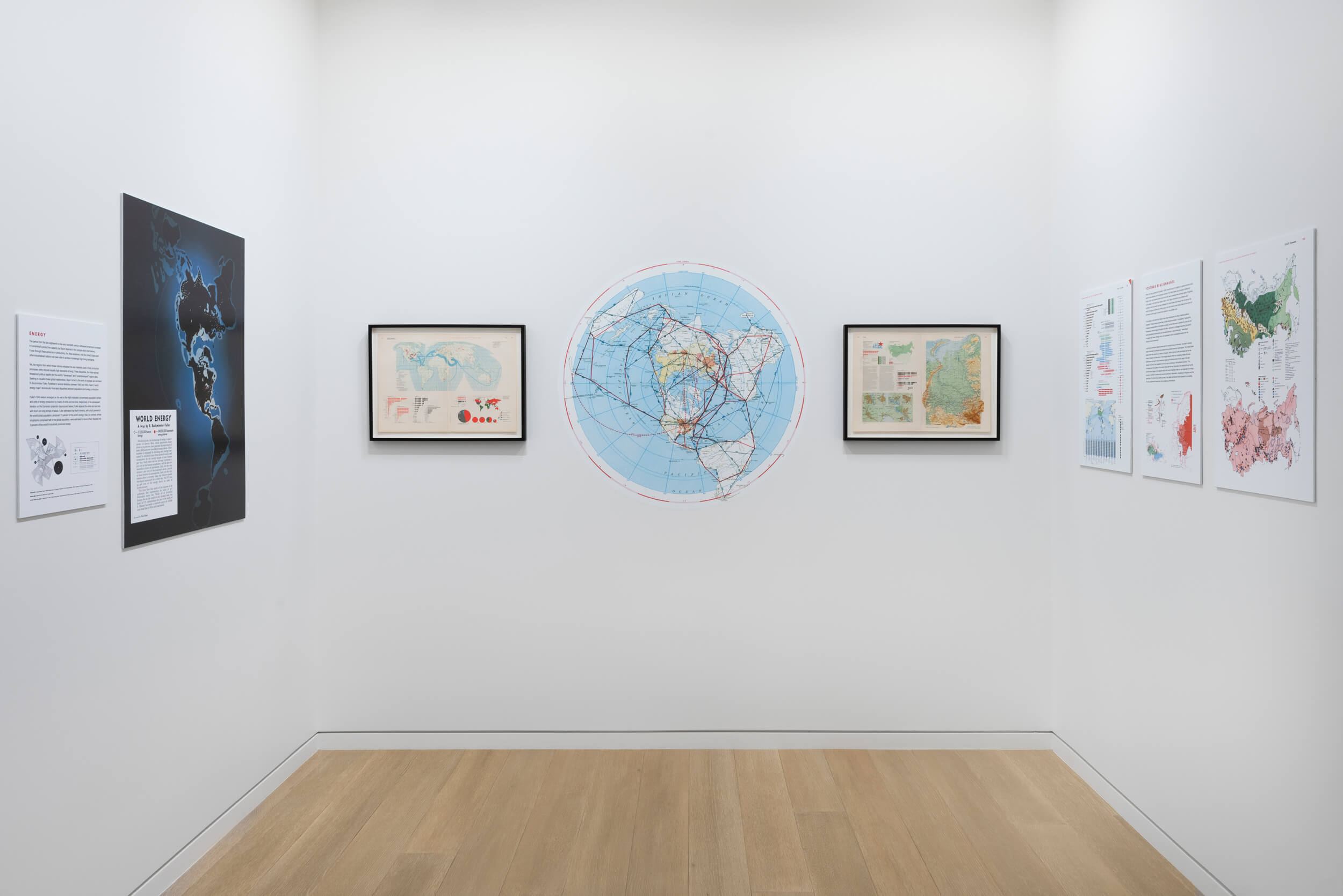
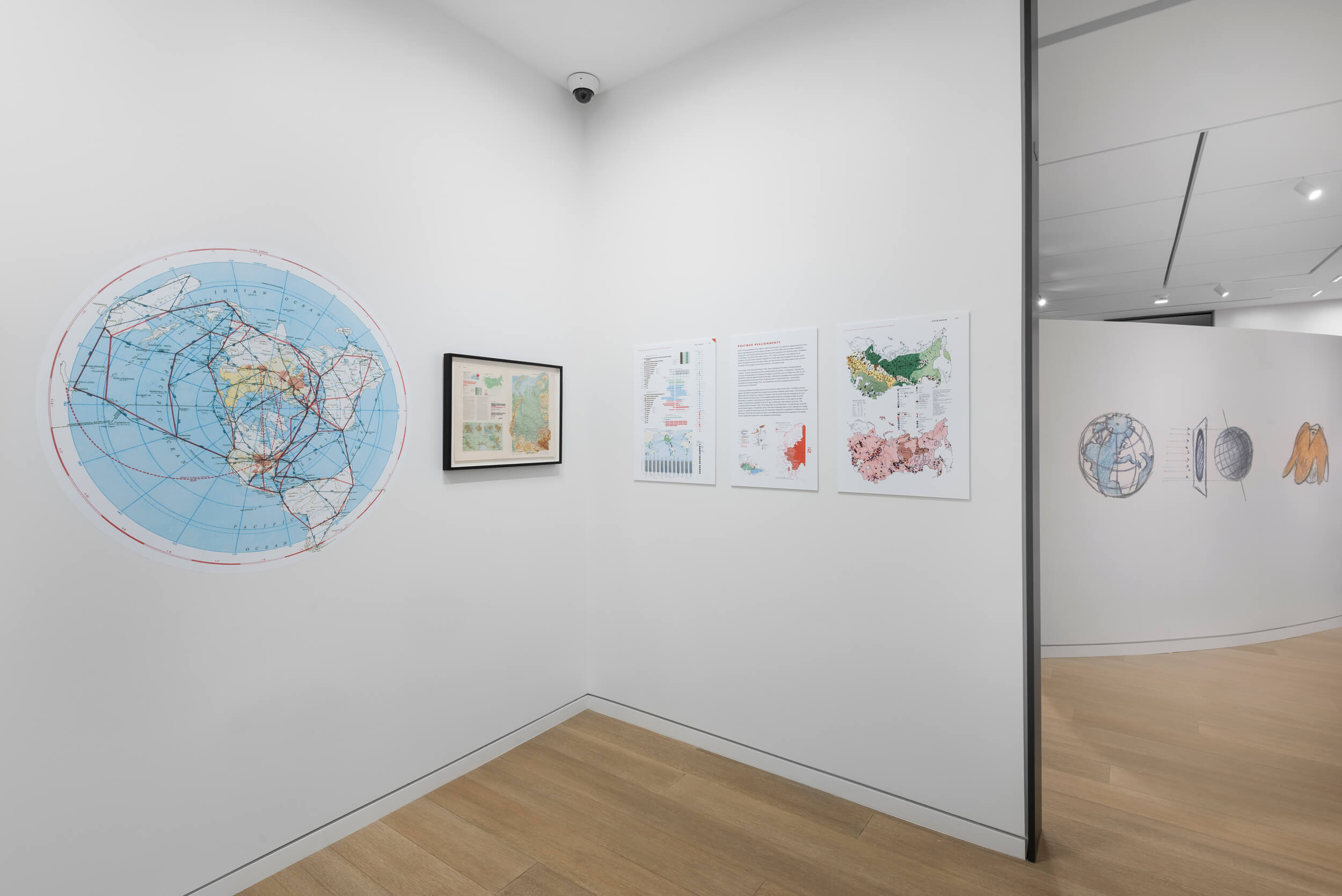
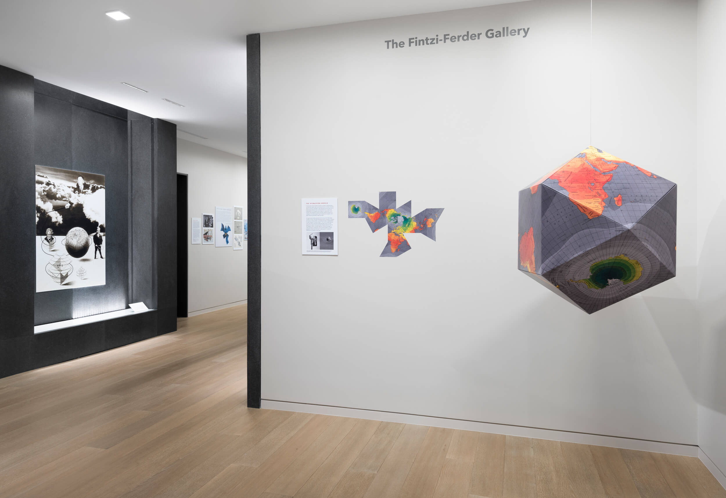
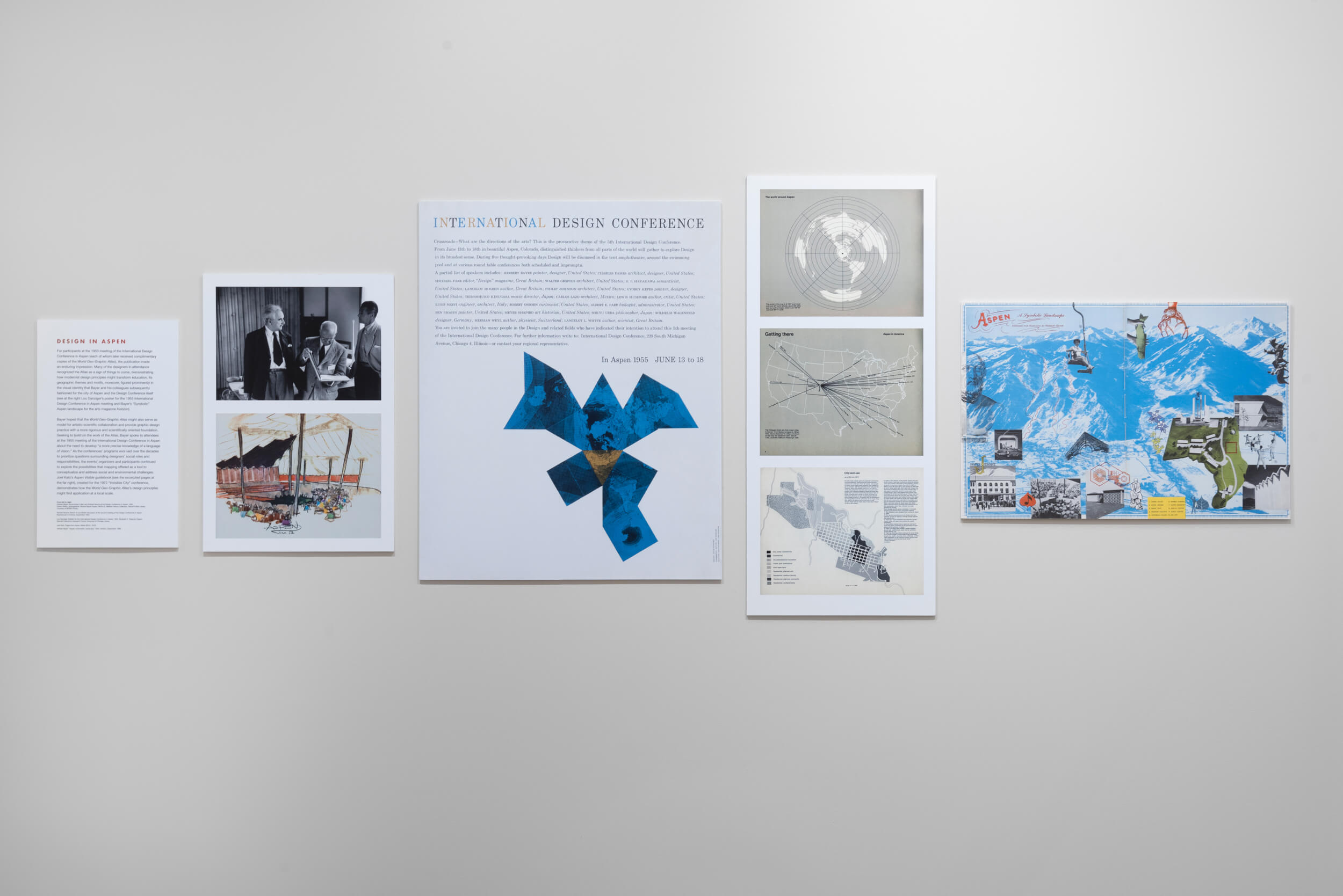
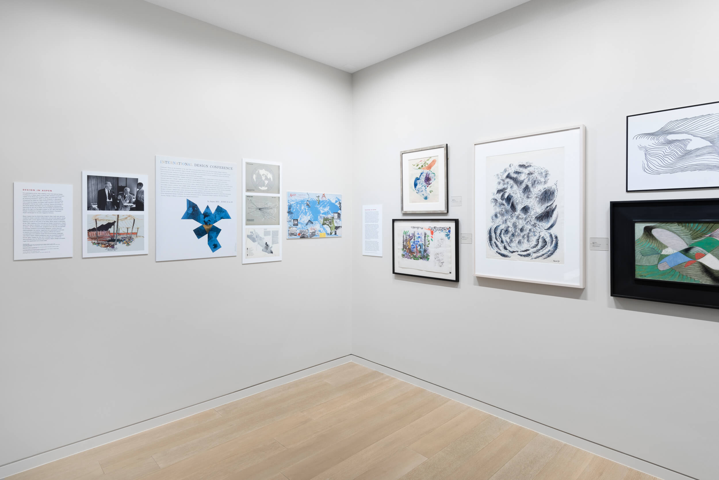
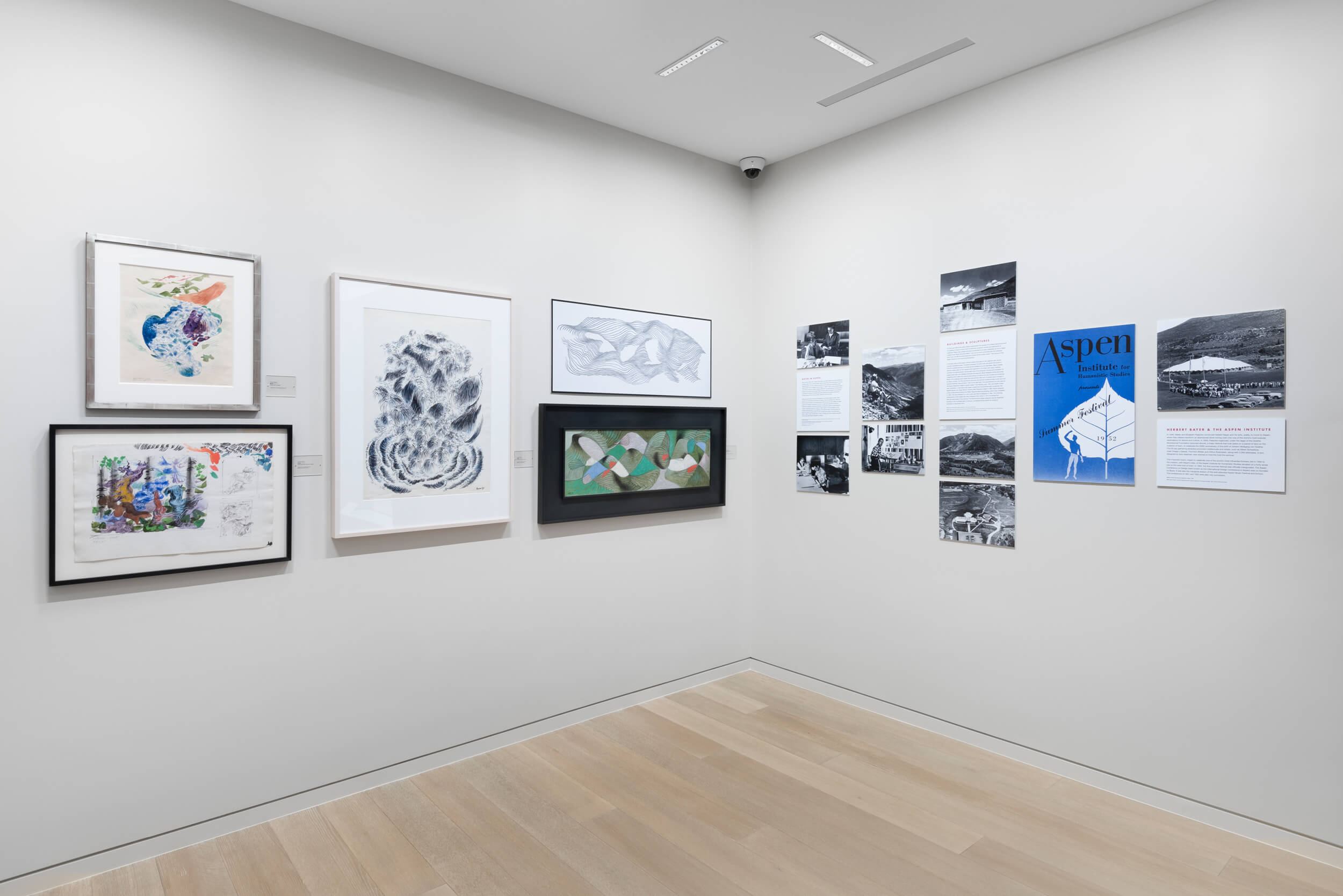
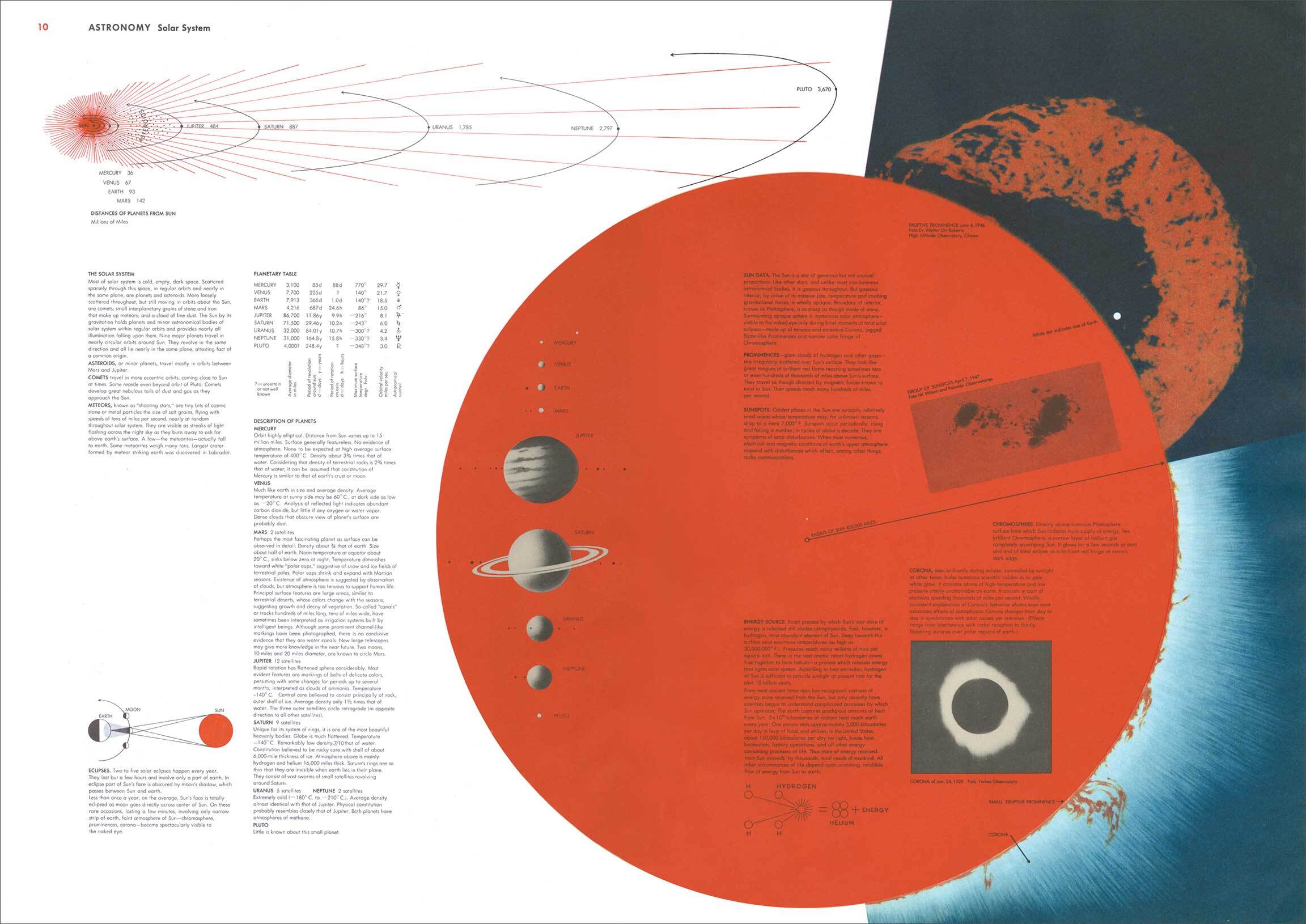
The Aspen Institute is pleased to present Concept of a Visualist: Herbert Bayer’s World Geo-Graphic Atlas. This exhibit, on view in the Resnick Center for Herbert Bayer Studies, examines Herbert Bayer’s 1953 World Geo-Graphic Atlas, a landmark work of visual education and modernist design. Commissioned by Walter Paepcke to mark the twenty-fifth anniversary of Container Corporation of America, the World Geo-Graphic Atlas was first presented at the 1953 International Design Conference at the Aspen Institute. In the seventy years since its publication, the atlas has come to occupy a key place within graphic design history. Characterized by Bayer as “the concept of a ‘visualist,’” the work’s imaginative approach to information design transformed the look and character of subsequent geographic atlases and popular scientific illustration. Its overarching message, moreover, proved to be prescient, with its emphasis on conserving natural resources and its warnings of potential environmental catastrophe. Marking the seventieth anniversary of the atlas’s publication, this is the first exhibition devoted to this groundbreaking and influential work.
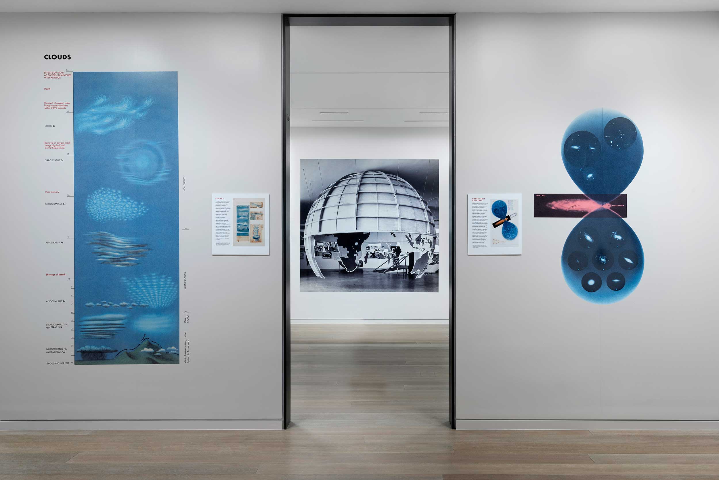
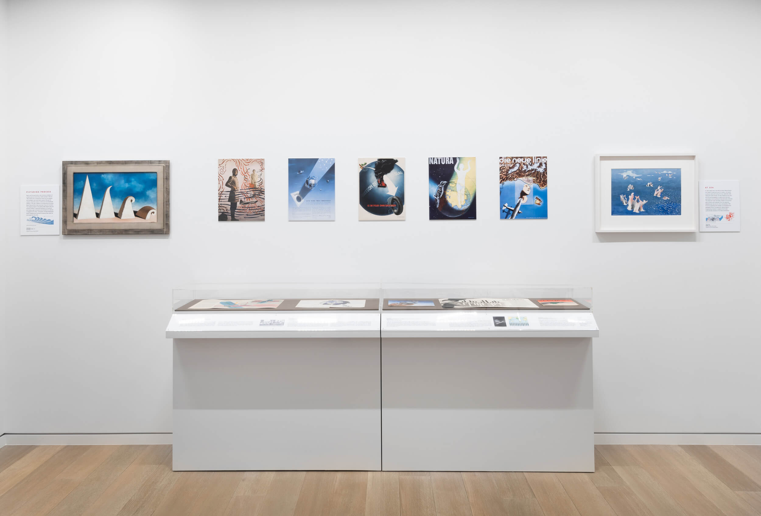
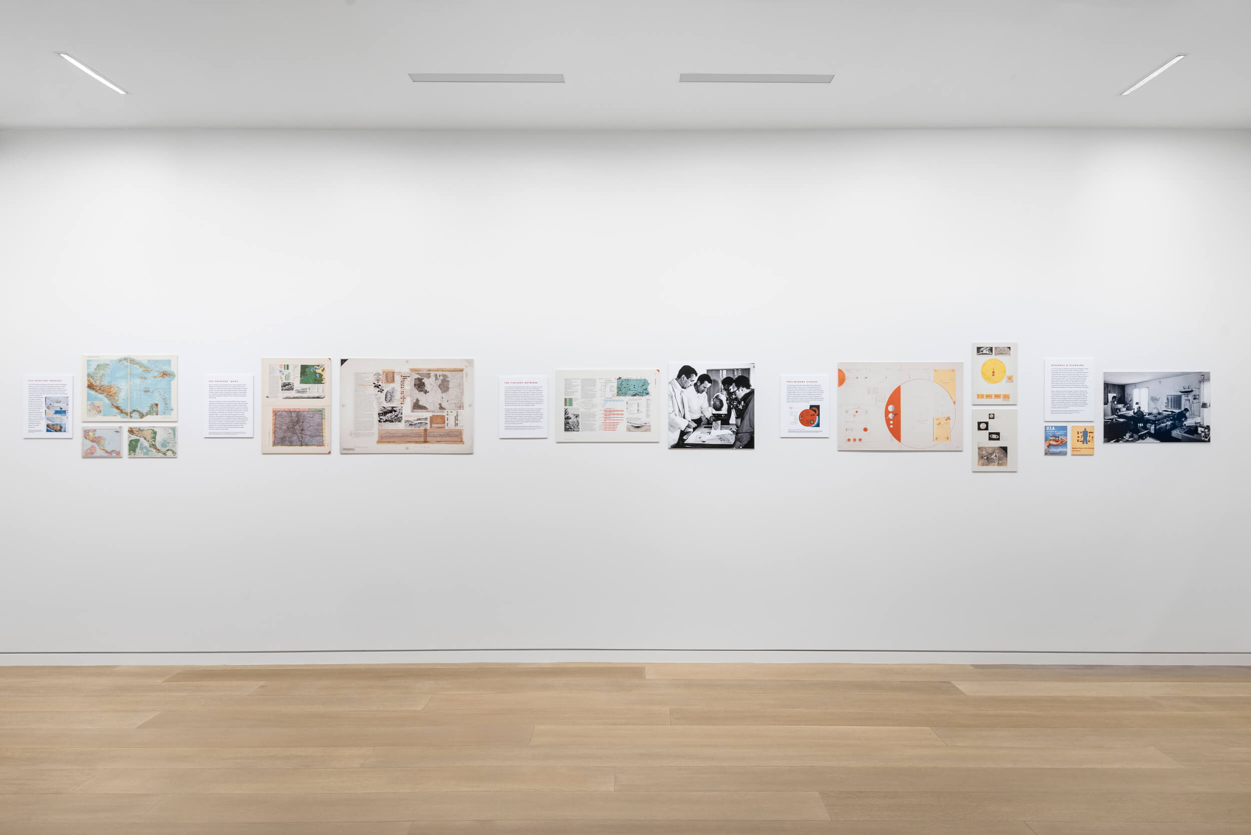
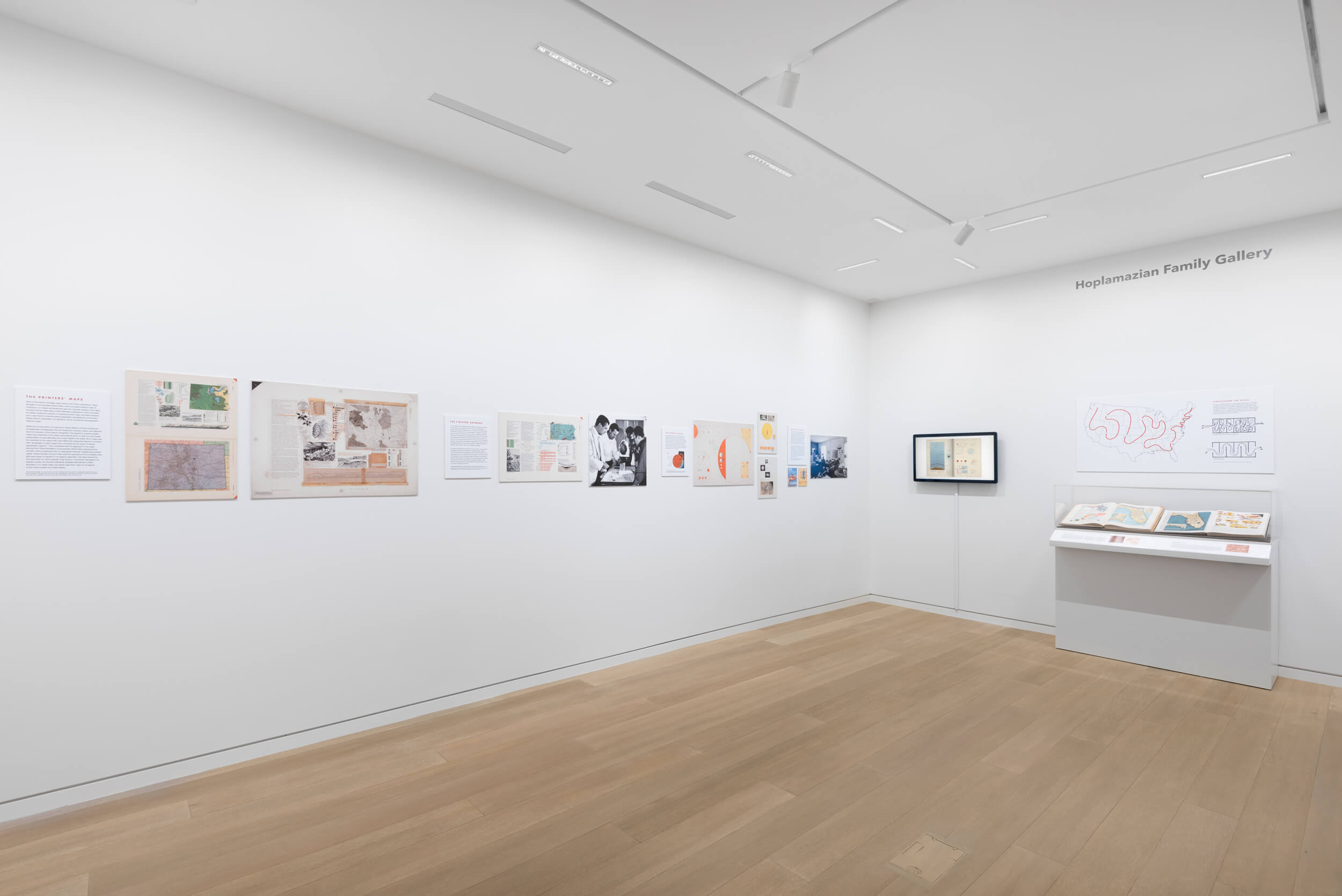
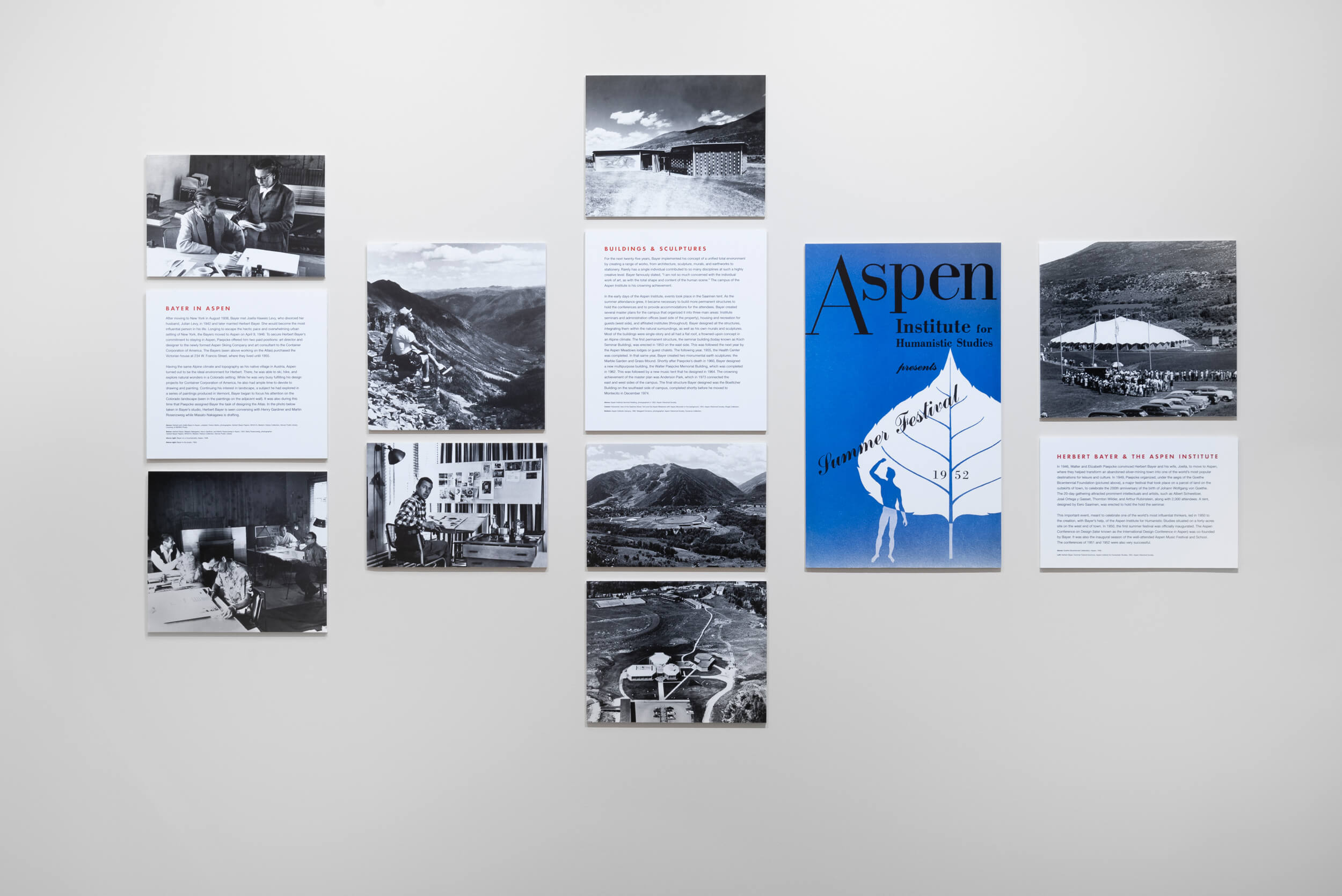
Concept of a Visualist: Herbert Bayer’s World Geo-Graphic Atlas is a collaboration between Bayer expert Bernard Jazzar and art historian Benjamin Benus, associate professor at Loyola University, New Orleans, and author of the book, Herbert Bayer’s World Geo-Graphic Atlas and Information Design at Mid-Century. Drawing on a wide range of original artworks, print media, and photographic documentation, this exhibition examines the sources, creative processes, and intellectual exchanges through which Bayer and his collaborators realized this fascinating work. In addition to exploring Bayer’s contributions to map design and scientific illustration, Concept of a Visualist provides new insights into Herbert Bayer’s larger body of artwork and highlights the atlas’s continued relevance for audiences today.

